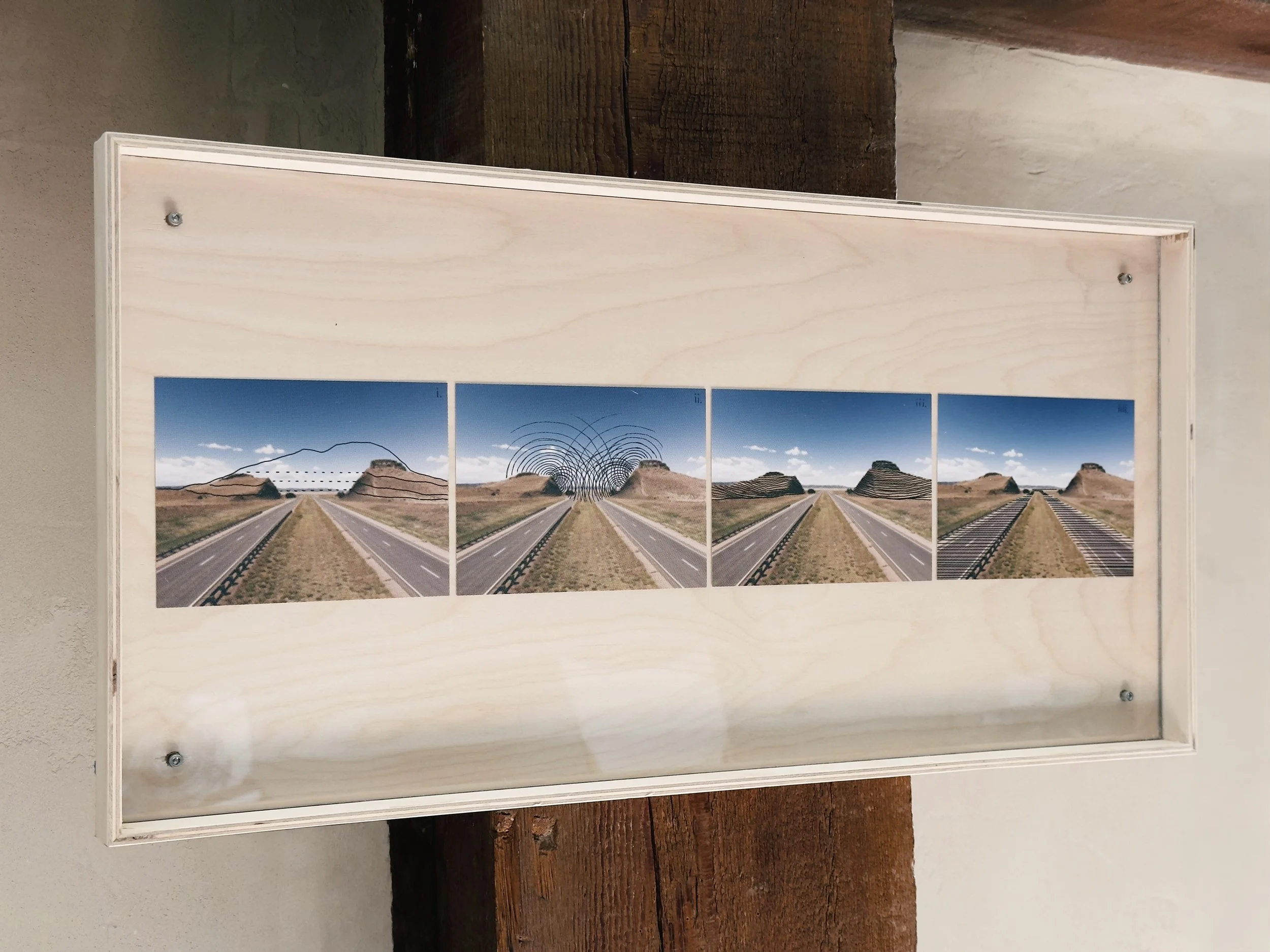
fragment loops / road cuts, 2026
fragment loops / road cuts continues a landscape projects series of fragmentation in process.

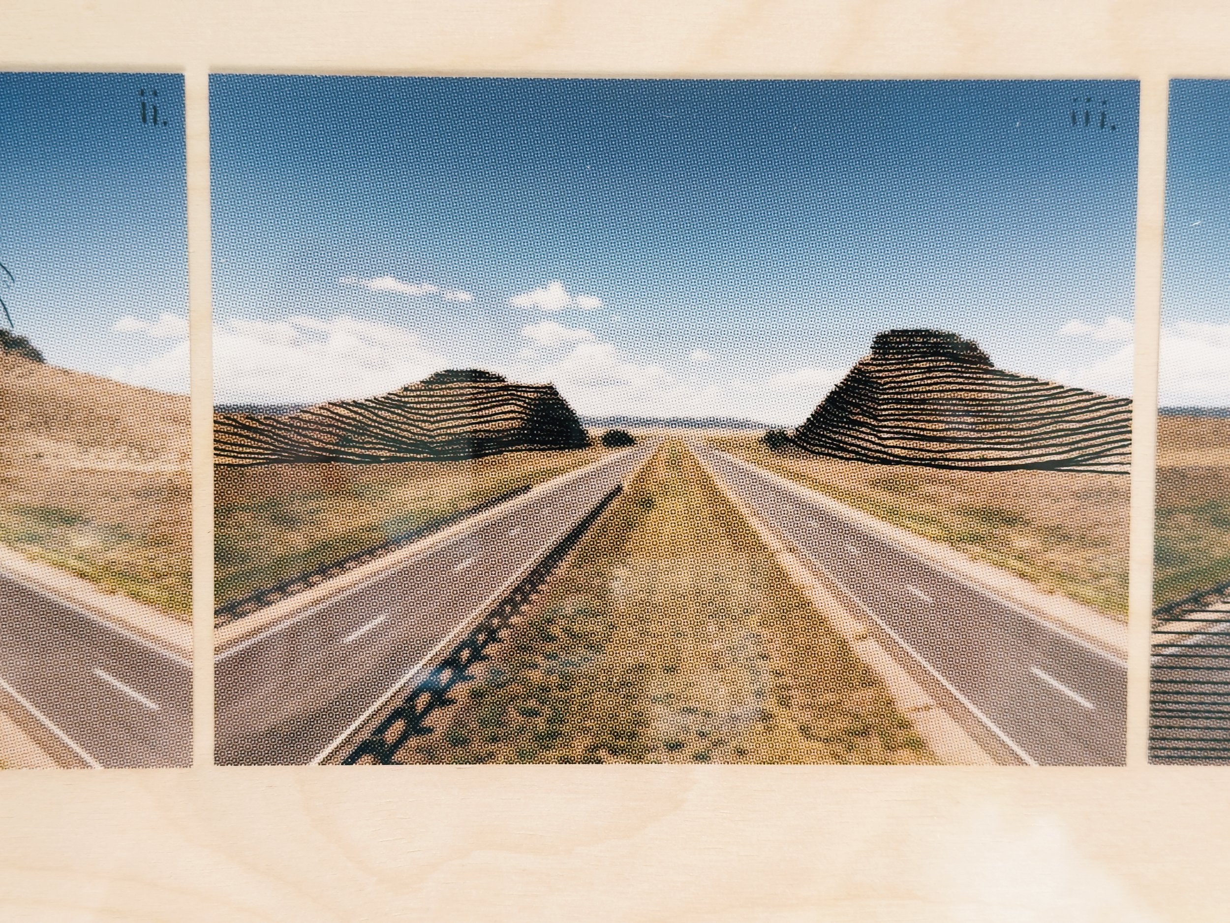
Beginning in the 1950s the interstate system was blasted through the land, because the road needed a gentle grade and whatever stood in the way was drilled, fired on a delay so it came down in order, crushed, and laid back down as the roadbed ahead of it. It stops being a mountain and becomes the surface you drive on.

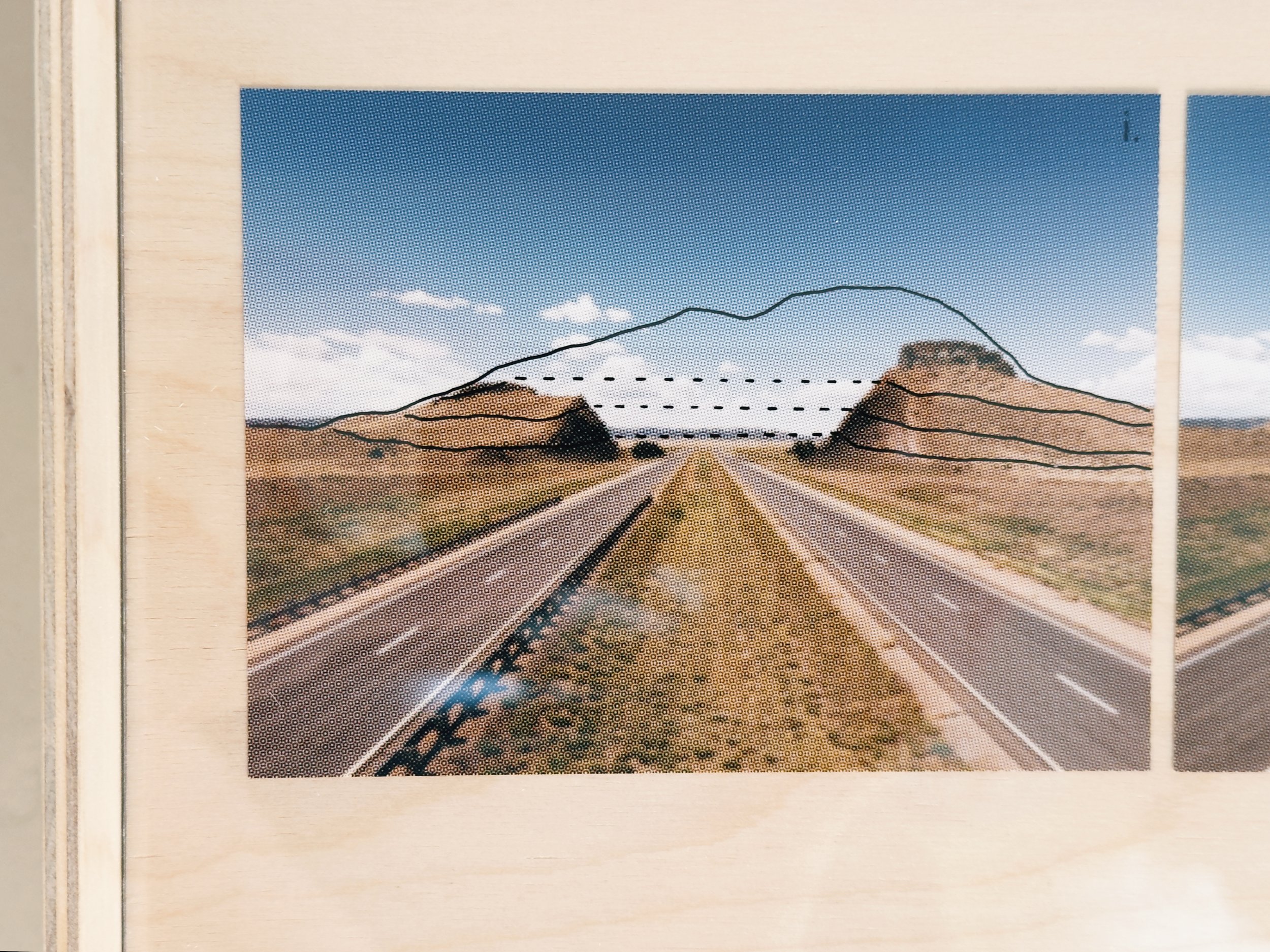
The first location is on I-25 south of Raton New Mexico, where the highway was aligned across a dike that filled a fracture in Cretaceous seafloor mud twenty four million years ago, hardened, and stood up as a ridge after the shale around it wore away.

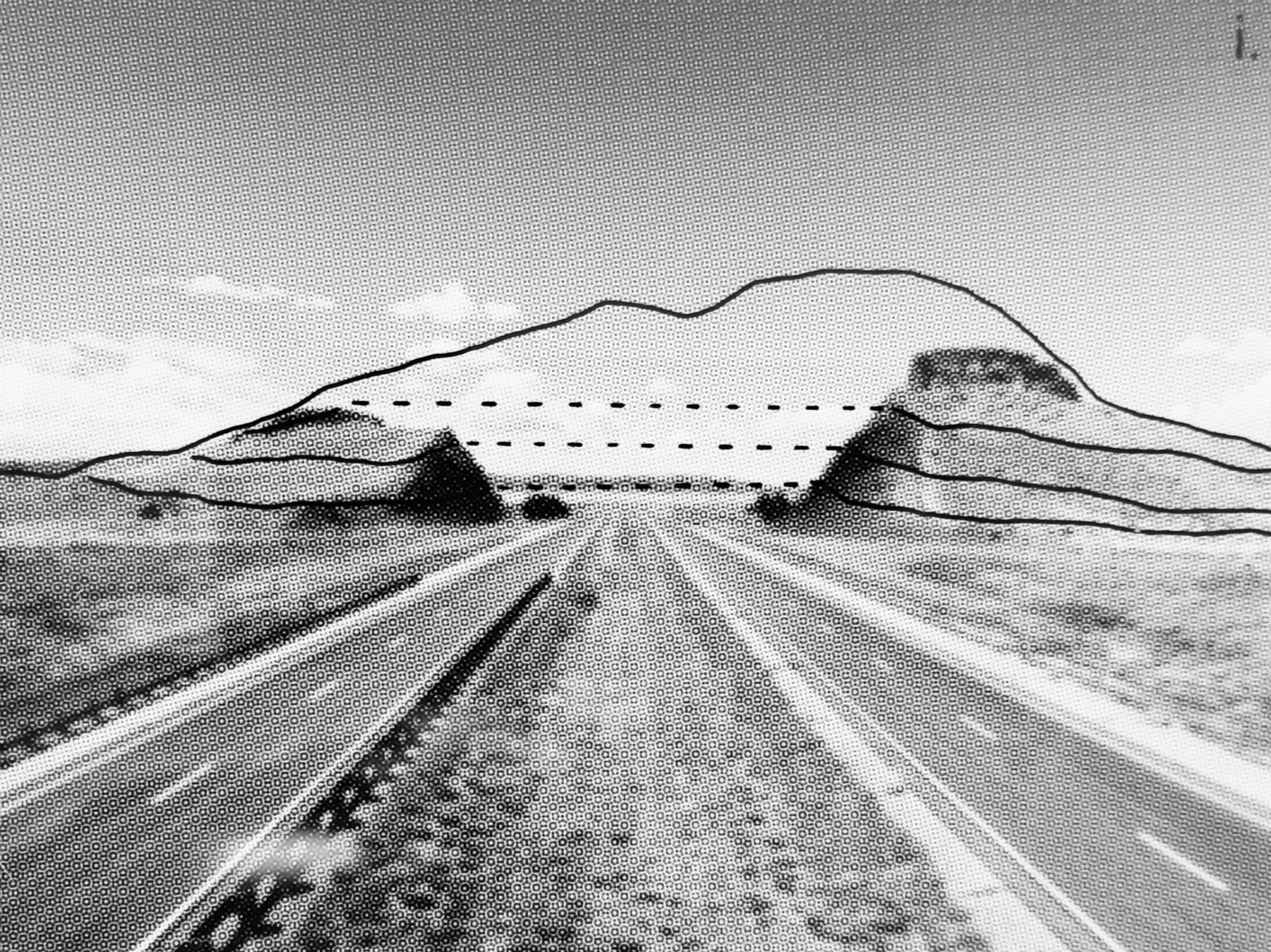
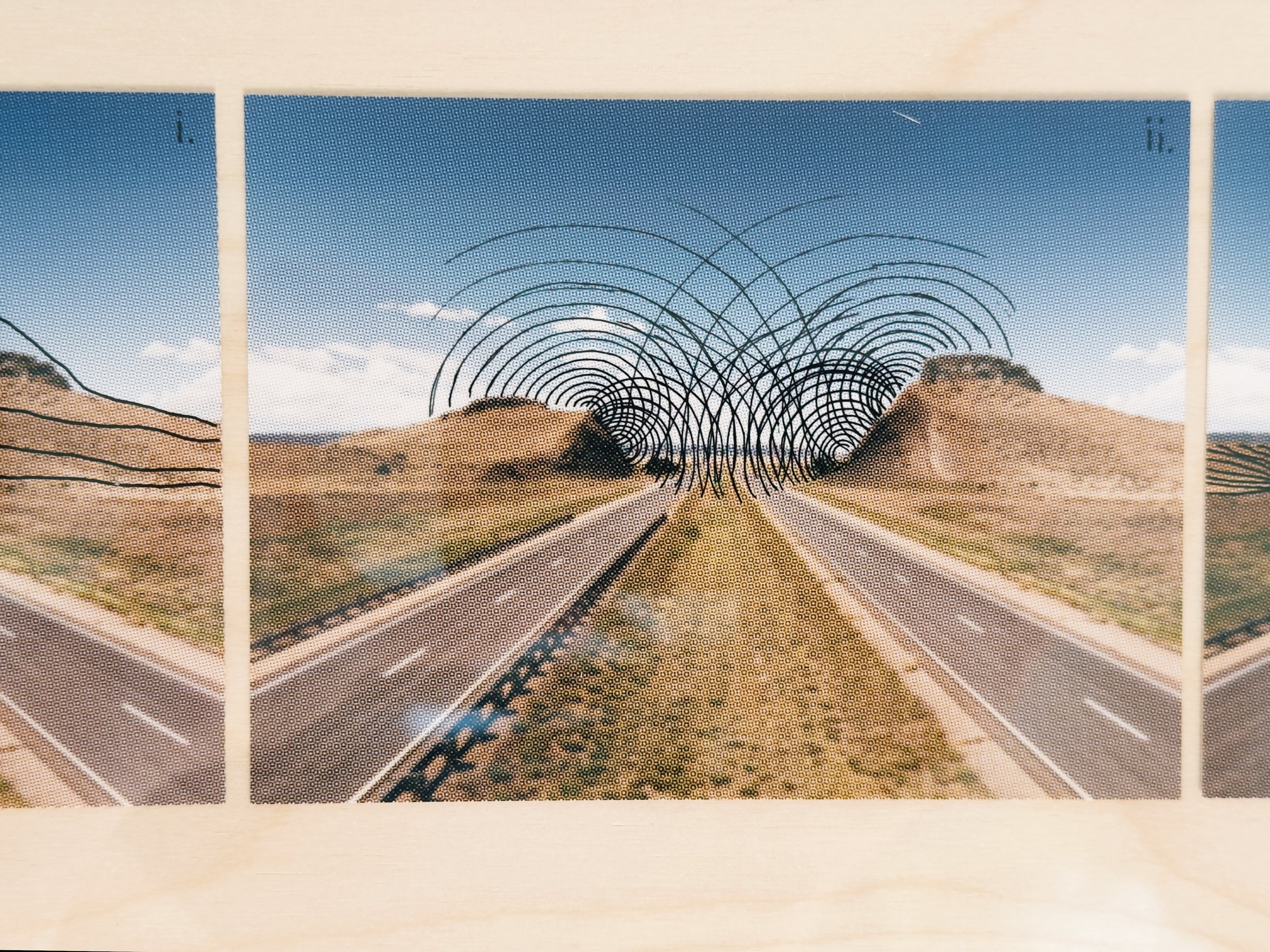
I photographed the cut from the corridor itself, at the speed and angle available to anyone passing, then printed the image four times and drew on each print by hand in ink. Each drawing is a score for a different rate of time at the same place: the filling, the blasting, the four seconds it takes to pass at seventy five, and the road going long after. The marks follow the conventions of geologic mapping, solid where observed and dashed where inferred, which makes every drawing an argument about what can be known from a cut face. The four scores are performed as tape loops, together or in sequence, their lengths taken from the periodicities already in the road.